The Unique Maps Co.
Map of Redstone, Colorado by USGS, 1982 – Carbondale, Mount Sopris & Crystal River
Map of Redstone, Colorado by USGS, 1982 – Carbondale, Mount Sopris & Crystal River
Não foi possível carregar a disponibilidade de retirada.
Titled “Carbondale, Colorado,” this United States Geological Survey map was dated 1982 and published in 1983, presenting the central Rocky Mountain landscape at a scale of 1:100,000. It captures a dramatic portion of western Colorado where settlement, mining history, mountain recreation, and protected forest lands meet. Carbondale anchors the sheet near the confluence of the Crystal River and the Roaring Fork River, while Redstone appears farther up the Crystal River valley, set amid steep slopes and high-country terrain. Produced with early-1980s survey data, the map offers a fascinating snapshot of the region before later decades of resort expansion, road improvements, and conservation debates reshaped parts of the Roaring Fork and Crystal River corridors.
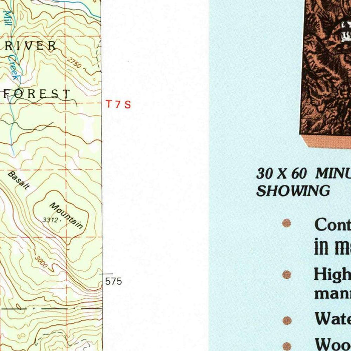
The USGS topographic style gives the map its authoritative elegance: precise contour lines describe the rise and fall of ridges, valleys, basins, and peaks, while carefully graded colors distinguish elevation, vegetation, hydrography, and human infrastructure. Roads, backroads, trails, streams, lakes, reservoirs, forest boundaries, and populated places are rendered through the standardized symbols that made late twentieth-century USGS mapping indispensable to scientists, planners, hikers, and land managers. Rather than simply naming places, the map explains the structure of the land itself—how rivers carve through mountains, how roads follow gentler grades, and how settlements occupy the narrow, workable spaces between imposing geological forms.
Mount Sopris is one of the defining presences on the map, rising south of Carbondale as a commanding landmark of the Elk Mountains. Its twin-summit profile has long dominated the visual identity of the Roaring Fork Valley, and the contouring around it reveals why: the mountain stands abruptly above surrounding drainages, with steep flanks feeding creeks that descend toward the valley floor. Farther into the high country, named summits such as Castle Peak and Granite Peak evoke the alpine character of the region, where cirques, ridgelines, and rugged watersheds create a complex terrain. The map’s topography makes the mountains feel legible, translating grandeur into measured elevation and form.
The waterways shown here are equally important. The Crystal River flows through a corridor rich in mining, ranching, and scenic history, passing Redstone, a community associated with coal, coke ovens, and the remarkable industrial ambitions of the early twentieth century. The Roaring Fork River, meanwhile, connects Carbondale to a wider valley system that includes Aspen and the famed mountain country beyond. These river valleys have long served as routes of movement, settlement, irrigation, and recreation. The map’s depiction of tributaries, reservoirs, and drainage patterns reveals how water organizes life in this semi-arid alpine environment, linking snowy uplands to towns, roads, forests, and cultivated lowlands.
As a document of the early 1980s, the map has particular historical resonance. It records the balance of land use at a moment when western Colorado was negotiating growth, recreation, energy interests, and environmental protection. The White River National Forest appears not as an abstract boundary but as an expansive working and recreational landscape threaded with trails, roads, creeks, and high peaks. Comparing this mapped world to the present invites reflection on changing development around Carbondale, the enduring allure of Redstone and the Crystal River Valley, and the increasing significance of conservation in the Rockies. It is both a practical topographic record and a portrait of a mountain region in transition.
Cities, towns and places on this map
- Carbondale, Colorado
- Redstone, Colorado
- Crystal River
- Roaring Fork River
- Mount Sopris
- White River National Forest
- Castle Peak
- Granite Peak
- The Town of Aspen
- Various hiking trails and paths
- Major highways and backroads
- Several lakes and reservoirs
- Various forests and parks
Historical context & cartographic details
- Map name: Carbondale, Colorado
- Produced by the United States Geological Survey (USGS)
- Dated 1982 and published in 1983
- Scale: 1:100,000
- Uses 1982 data, reflecting the topographic landscape and features of the region during that period
- Includes contour lines, elevation color gradations, and readable symbols for distinguishing geographical features
- Features a legend consistent with USGS mapping standards of the time
- Depicts mountainous terrain with detailed representation of landforms, elevation changes, and water features
- Serves as a historical artifact of the early 1980s, useful for examining changes in development, conservation, landscape, and human impact over time
Looking for a particular place? Review the detailed images to confirm that the town, landmark or feature you have in mind appears on the map. If you are unsure, ask our workshop to check before you order.
Detailed maps are especially rewarding at larger sizes, where names, boundaries and decorative features have more room to be appreciated. Use the close-up preview and size guide to choose the right scale for your wall.
This map looks amazing at sizes all the way up to 50in (125cm). If you are looking for a larger map, please get in touch.
The model in the listing images is holding the 36x24in (90x60cm) version of this map.
Where personalisation is available, you can add a short title or dedication, mark one meaningful place, or request one considered visual detail. See personalised map examples.
Every piece is printed to museum-grade archival standards using fade-resistant pigment inks on acid-free matte paper. Choose an unframed map print, framed map or canvas using the finish options above. Framed maps use crystal-clear optical acrylic and arrive ready to hang.
With its rich detail and strong sense of place, this map makes a considered gift for a new home, anniversary, retirement or anyone with a personal connection to the area shown. Still deciding? Explore our collection of rare old and vintage maps to discover another place, period or style.
Share