The Unique Maps Co.
Map of Bretton Woods, New Hampshire by USGS, 1982 – Mount Washington & White Mountain National Forest
Map of Bretton Woods, New Hampshire by USGS, 1982 – Mount Washington & White Mountain National Forest
Não foi possível carregar a disponibilidade de retirada.
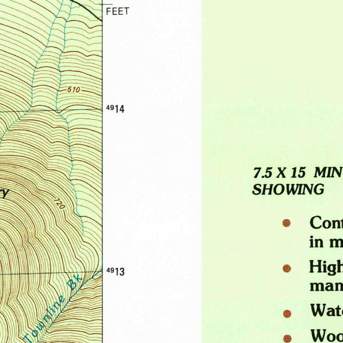
Titled “Mt. Washington, New Hampshire,” this United States Geological Survey map was created from 1982 survey data and published with a 1983 imprint, capturing one of New England’s most storied mountain landscapes at a moment of late-twentieth-century precision. Centered on the formidable height of Mt. Washington and the surrounding White Mountains, the map presents Bretton Woods and its dramatic environs in the crisp language of modern topography. At a 1:25,000 scale, it offers an intimate view of ridgelines, river valleys, roads, trails, and railways, transforming a celebrated alpine region into a carefully measured terrain. Its shaded relief and subtle elevation coloring lend the sheet a sculptural quality, making the Presidential Range appear not merely mapped, but almost illuminated.
The USGS brought to this map more than a century of cartographic authority. Founded in 1879, the agency became the national standard-bearer for geological exploration, land measurement, and topographical mapping across the United States. In this Mt. Washington sheet, that institutional rigor is evident in the close contouring of steep slopes, the disciplined treatment of waterways, and the precise depiction of settlement and infrastructure. The White Mountains are notoriously complex to map: sharp ascents, glacially carved notches, dense forest, and rapidly changing weather all shape the terrain. Here, the USGS renders that complexity with admirable clarity, balancing scientific accuracy with visual grace. The result is a map that speaks equally to geographers, hikers, historians, and admirers of American mountain cartography.
Bretton Woods, shown amid this rugged setting, carries a resonance that reaches far beyond its resort landscape. Known today for skiing, mountain recreation, and its position near the White Mountain National Forest, it is also forever linked to the 1944 Bretton Woods Conference, where Allied delegates designed the postwar international monetary order. Against that historical backdrop, the map’s roads, railways, and surrounding peaks acquire a deeper significance: they describe not only a mountain village, but a place where global economic history met the secluded grandeur of northern New Hampshire. Nearby Jefferson, Gorham, Twin Mountain, and the approaches to Crawford Notch situate Bretton Woods within a wider network of mountain communities shaped by tourism, conservation, logging history, and alpine travel.
The topographic drama of the map is anchored by Mt. Washington itself, the highest summit in the northeastern United States and a peak famous for extreme weather. Around it rise the Presidential Range and neighboring heights such as Mount Clinton and Mount Jackson, their slopes articulated through dense contour lines that reveal the abrupt geometry of the White Mountains. Rivers and brooks thread through the relief, including the Ammonoosuc River and the headwaters and valleys associated with the Saco River system. Crawford Notch, Franconia Notch, Profile Lake, Zealand Falls, and other landmarks evoke the region’s celebrated combination of glacial scenery and recreational pilgrimage. Trails lace the high country, suggesting the long tradition of foot travel, summit ascents, and wilderness exploration.
As a late twentieth-century view of the White Mountains, the map also records a landscape in transition. By the early 1980s, tourism infrastructure around Bretton Woods, ski areas, highways, and access roads had become increasingly important, while conservation efforts continued to protect the forests, watersheds, and high-elevation ecosystems that define the region. Routes such as the Kancamagus Highway and corridors toward Evans Notch, Gorham, and other mountain gateways helped open the area to visitors while reinforcing the need for careful stewardship. The map’s shaded relief and color gradations make this balance visible: human routes appear as fine threads across immense terrain. It is a measured portrait of a beloved American mountain region, combining scientific discipline, historical depth, and alpine romance.
Cities, towns and places on this map
- Bretton Woods
- Mt. Washington
- White Mountain National Forest
- Jefferson
- Gorham
- Carrigain Mountain
- Mount Clinton
- Cherry Mountain
- Ammonoosuc River
- Profile Lake
- Mount Jackson
- Mount Osceola
- Crawford Notch
- Zealand Falls
- Saco River
- Presidential Range
- Kancamagus Highway
- Franconia Notch
- Twin Mountain
- Castle in the Clouds
- Daisy Beach
- Evans Notch
- Various trails, roads, and railways connecting these locations
Historical context & cartographic details
- Produced by the United States Geological Survey, this historical 1:25,000 topographical map details the surrounding area in New Hampshire.
- Created from survey data in 1982 and published with a 1983 imprint.
- The USGS is known for producing accurate, detailed maps and for its comprehensive geological explorations and surveys in the United States.
- The map uses shaded relief to depict topography, giving the landscape a more three-dimensional visual appearance.
- Color gradations are used to represent elevation changes.
- Detailed contour lines show varied elevations and emphasize the mountainous terrain of the White Mountains.
- Since 1982, the region has seen changes including tourism infrastructure development and conservation efforts to protect natural landscapes.
- The area has historical significance connected to the 1944 Bretton Woods Conference, which led to major post-World War II economic agreements.
Looking for a particular place? Review the detailed images to confirm that the town, landmark or feature you have in mind appears on the map. If you are unsure, ask our workshop to check before you order.
Detailed maps are especially rewarding at larger sizes, where names, boundaries and decorative features have more room to be appreciated. Use the close-up preview and size guide to choose the right scale for your wall.
This map looks amazing at sizes all the way up to 50in (125cm). If you are looking for a larger map, please get in touch.
The model in the listing images is holding the 36x24in (90x60cm) version of this map.
Where personalisation is available, you can add a short title or dedication, mark one meaningful place, or request one considered visual detail. See personalised map examples.
Every piece is printed to museum-grade archival standards using fade-resistant pigment inks on acid-free matte paper. Choose an unframed map print, framed map or canvas using the finish options above. Framed maps use crystal-clear optical acrylic and arrive ready to hang.
With its rich detail and strong sense of place, this map makes a considered gift for a new home, anniversary, retirement or anyone with a personal connection to the area shown. Still deciding? Explore our collection of rare old and vintage maps to discover another place, period or style.
Share